Townland Names of Westmeath Project
There are 1349 townlands in Westmeath. In my PhD thesis (NUIG 2012) [can be downloaded here], I carried out a study of the names of 276 of these townlands (encompassing the baronies of Kilkenny West and Clonlonan).
I am currently working, in particular, on the townland names of the adjacent baronies of Brawny (61 townlands), Rathconrath (163 townlands), and Moycashel (167 townlands).
At this stage I am compiling historical forms of each townland name from a wide variety of written sources, ranging in date from the medieval period down to the 20th century, as well as recording the local pronunciations. This information is laid out in tabular format, in three columns: (1) a column on the left for the historical forms of the name (listed in chronological order so that the development of a placename over time can be analysed linguistically). (2) the source of each form, and a reference, is given in the central column. (3) the year of the source is given in the right-hand column. Some of the forms I have gathered for the townland of Windtown, in the barony of Fore, Co. Westmeath, are presented below by way of example:
| Historic form | Source | Year |
|---|---|---|
| Ballynegihie | Inq. Car. I, 67 | 1631 |
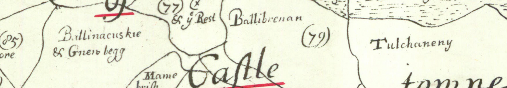
| Windtowne | DS | 1657 |
| Wind Towne | Census 509 | 1659c |
| Windtowne | ASE 96 | 1667 |
| Windtowne | BSD 53b | 1670c |
| Windtown | Larkin | 1808 |
Following an analysis of this evidence an Irish-language form of the placename may be proposed (the vast majority of townland names are of Irish-language origin). In this case Windtown appears to be a translation of Baile na Gaoithe ‘townland of the wind’. This approach is based on the methodology used by the Placenames Branch of the Department of Arts, Heritage and the Gaelacht (the researchers behind Logainm.ie). The Placenames Branch, in turn, adopted this method from Ortnamnsarkivet, the institute with responsibility for the study of Swedish placenames.
Some of the abbreviated sources shown above can be explained as follows: Larkin – Grand Jury Map of Co. Westmeath, 1808, by William Larkin. DS – Down Survey barony maps drawn in the 1650s, as part of William Petty’s ‘Down Survey’ of lands confiscated in the aftermath of the Cromwellian Conquest – these were the first maps on which townland boundaries were delineated. Inq. Car. I – Inquisitions of Charles I – inquisitions are very valuable surveys of the possessions (generally lands, identified by their names) of tenants under the crown, upon their demise. They were usually written in Latin; in this case the inquisition was taken during the reign of Charles I (Car. < Latin Carolus).
Ultimately, I intend to produce a comprehensive study of all 1349 townland names in Westmeath – the outcome of this study will be a monograph, provisionally titled Language in the landscape: linguistic and settlement change as evidenced in the placenames of Westmeath. The authoritative Irish-language forms of the names which emerge from the study, and the historical evidence, will be published online and linked to Logainm.ie, The Placename Database of Ireland.